2-Week California & Southwest USA Road Trip from San Francisco: Itinerary [2022]
Road trips are the thing to do in the USA. The natural landscape of this country and its accessibility are amazing. While some of the National parks are quite visited, there’s others where you can find really wild nature, something that we rarely get in Europe unfortunately. That being said, the size of the country is large, and going from one point to another can take a looong while. Check out this guide if you need inspiration for a 2 weeks road USA trip starting in San Francisco!
- Itinerary
- Day 1 – Visit San Francisco
- Day 2 – Driving to Sequoia National Park
- Day 3 – Visit Santa Barbara
- Day 4 – Enjoy Los Angeles
- Day 5 – Drive to Joshua Tree National Park
- Day 6 – Visit Phoenix
- Day 7 – Explore Saguaro National Park
- Day 8 – Drive to the Petrified Forest National Park
- Day 9 – Drive to Page
- Day 10 – Visit the Antelope Canyon and the Waterholes Canyon
- Day 11 – Touring Escalante
- Day 12 – Drive to the Valley of Fire & arrival to Vegas
- Day 13 – Visit Las Vegas
- Day 14 – Drive to Mammoth Lakes
- Day 15 – Drive to Lake Tahoe and return to San Francisco
- Highlights of the trip
- Practical advice
- Want more inspiration?
Itinerary
Day 1 – Visit San Francisco
I must admit that when I first moved to SF I didn’t quite find the city that interesting. I believe that some cities are spectacular to see, while some cities are interesting to live in, and for me, SF falls into the second category. This time, my mum visited me for a couple of weeks, so after a year of living in the Bay Area, I had plenty of knowledge to share.
Berkeley
We started our day going to the Ocean’s View Diner in Berkeley, where we got nice pancakes in a diner that seemed to have popped out of the 1950’s. After a filling breakfast, we headed to Berkely Bowl. Yep, I know that’s not a famous touristic attraction, but I love visiting supermarkets in other countries, and Berkeley Bowl is certainly worth a visit, with it’s great variety of produce.
San Francisco
We tooked the car and drove from the East Bay, where I lived, to San Francisco. For that, we first crossed the Oakland Bay Bridge (controversial opinion, but I think I like this Bridge better than the Golden Gate). I love the views you get of the city on your right hand side when you’re crossing it, I think it’s one of the best places to get SF’s skyline.
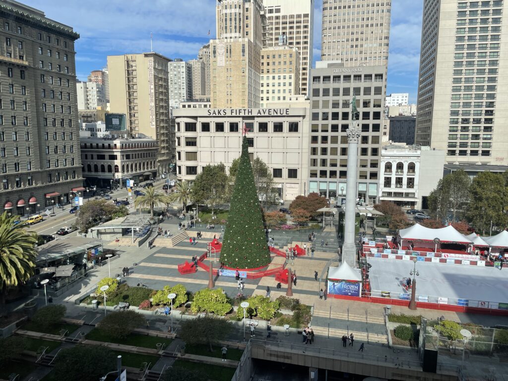
We parked in Union Square and started our visit there. If it’s our first visit to the city, my recommendation would be to be very careful with not heading to Tenderloin. I ended up there in my first visit and didn’t have a great impression of SF for a long time. It’s the area where many homeless and drug addicts stay, and it’s quite rough to see. I think it’s a fair visit to make to understand the city better, but probably not as your first point. The problem is that Union Square and Tenderloin are right next to each other.
Some of the highlights of Union Square are the Macy’s (which I believe it’s going to get closed…), and Chinatown, which is walking distance from there. You can also potentially walk to the Transamerica Pyramid, which has an interesting architecture.
After Union Square, we drove to the Fisherman’s Wharf, a much more touristy area. There’s many stores, restaurants (try the clam chowder!), and lots of people. One of the highlights of the Fisherman’s Wharf is Pier 39, where you can see seals. They are not there all the time, so you need to get a bit lucky with when you go.
Towards the famous Golden Gate
We next headed to the Baker Beach, which has great views of the main attraction of San Francisco, the Golden Gate. On the beach there was a group of men fishing, and at the distance, we could see dolphins. It’s a great place to enjoy!
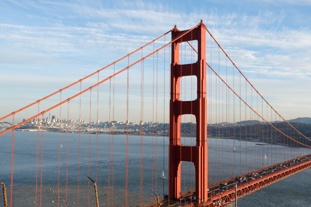
Of course, from here we could only drive through the Golden Gate, and end up in my favourite spot to see it, Battery Spencer. From here, you have great views of the Golden Gate with the city behind. Now, it’s almost impossible to reach without a car, which is a pity if you want to rely on public transport only. Something that always impresses me from this viewpoint are the currents that you see under the bridge. They look extremely dangerous and there’s often accidents with swimmers.
For dinner, we drove to Japantown, a small area with many Japanese restaurants, and had dinner at Daeho, a very popular Korean restaurant. If you want more information on what to do in SF, check out my guide of 20 places to see in San Francisco:

Day 2 – Driving to Sequoia National Park
Our first destination was the Sequoia National Park, which is located around 4 h by car from SF. Our trip was in November, so while driving we were listening to the road forecast – there were many roads closed, hich made us decide to go to the North Entrance of the park. We spoke with a ranger we found at the entrance, and followed her advice on the activities we could do.
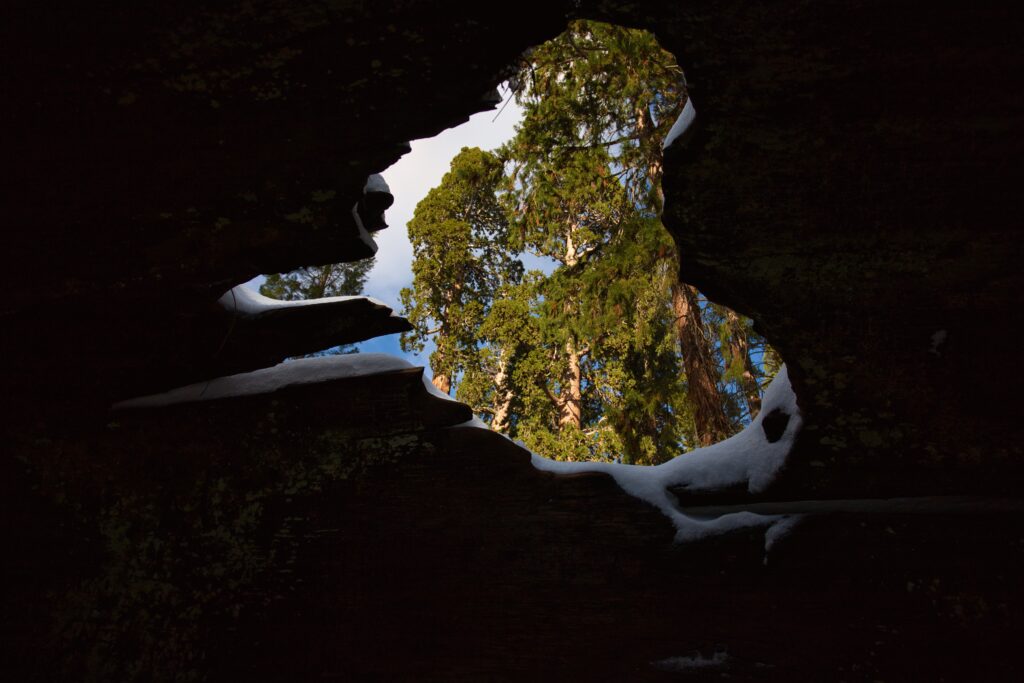
Our first stop was the General Grant Tree, a tree famous for its humungous volume. Not only its size is impressive, but also the combination of the copper color of the wood, with the white snow was very enticing. I was somehow expecting sequoias to be similar to redwoods, but they have a totally different shape: their crown is very small and only on the tallest part, while the trunk is very wide.
We skipped one of the trees the ranger suggested because we couldn’t find the hiking trailhead with the snow, so we headed to the next spot, now located in King’s Canyon, the Hume Lake. On the way, we had great views of the King’s Canyon, but unfortunately I couldn’t stop anywhere, because the only view point was full of youngsters taking photos of old cars. Not sure what was going on there, but we headed directly to the lake, which was a nice stop.
The days were already quite short and the sun was setting, which made us drive to our hotel in Three Rivers. This took a surprisingly long time, as we wanted to avoid all the snowy areas.
Day 3 – Visit Santa Barbara
Santa Barbara
From Three Rivers it still took us 4 h to reach Santa Barbara, and the most spectacular thing about the trip was the weather change: from cold and snowy weather we dived into the famous Californian sun. We parked at Stearns Wharf, a wharf with restaurants and shops. Since it was already lunch time, we ate in one of the restaurants of the wharf – the sea urchins and lobster roll were delicious!
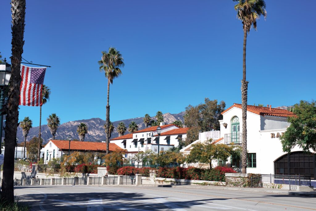
We then headed to Downtown, which was very easy to reach following the same road where the wharf was located. Santa Barbara is a really cute city in my opinion. It has tall palm trees, houses painted in white, local stores, and a relaxing seafront promenade.
Arrival to Los Angeles
The way to LA was still long, so we drove up to the hotel, which was located next to the highway. The hotel was nice and it offered a shuttle.
Day 4 – Enjoy Los Angeles
After some consideration, we decided to leave the car parked at the hotel (it was already 40$ per day, so no chance we’d move it from there!) and took the transfer to Westwood Village. I had never heard of it before, so it was interesting to see this area. We even had the most California breakfast of all times, the avocado toast. Then, we took a taxi to the Beverly Center, a shopping mall my mum wanted to see.
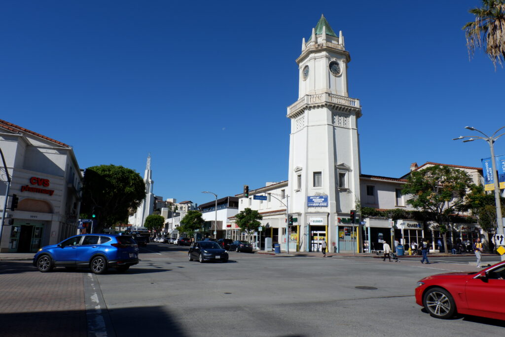
After the shopping spree, we went to the most famous touristic attraction – the Hollywood Walk of Fame. Maybe because I don’t particularly like watching movies and most actor’s and actress’ names say nothing to me, but I find that place very underwhelming. One of the few things was to see the Hollywood sign, which I’m also not too impressed about. What was cool was our dinner at the Mel’s Drive-In, which is a very hollywood-styled diner.
Day 5 – Drive to Joshua Tree National Park
We woke up early to drive to Joshua Tree National Park, which is located around 3 h away from the city. We entered through the West Entrance after asking the ranger for recommendations. Already from the road, you could see many Joshua Trees and rocks with interesting shapes. Joshua Trees are surprisingly tall, reaching 15 m. Their habitat is mostly the Mojave Desert. Unfortunately, due to climate change and other ecological factors, it appears that Joshua Trees will migrate away from the National Park eventually, completely changing the landscape. Funnily enough, there’s more Joshua Trees in the Mojave Desert than there are in the Josua Tree National Park. That by no means means that you’ll miss having Joshua trees. There’s still plenty in both places.
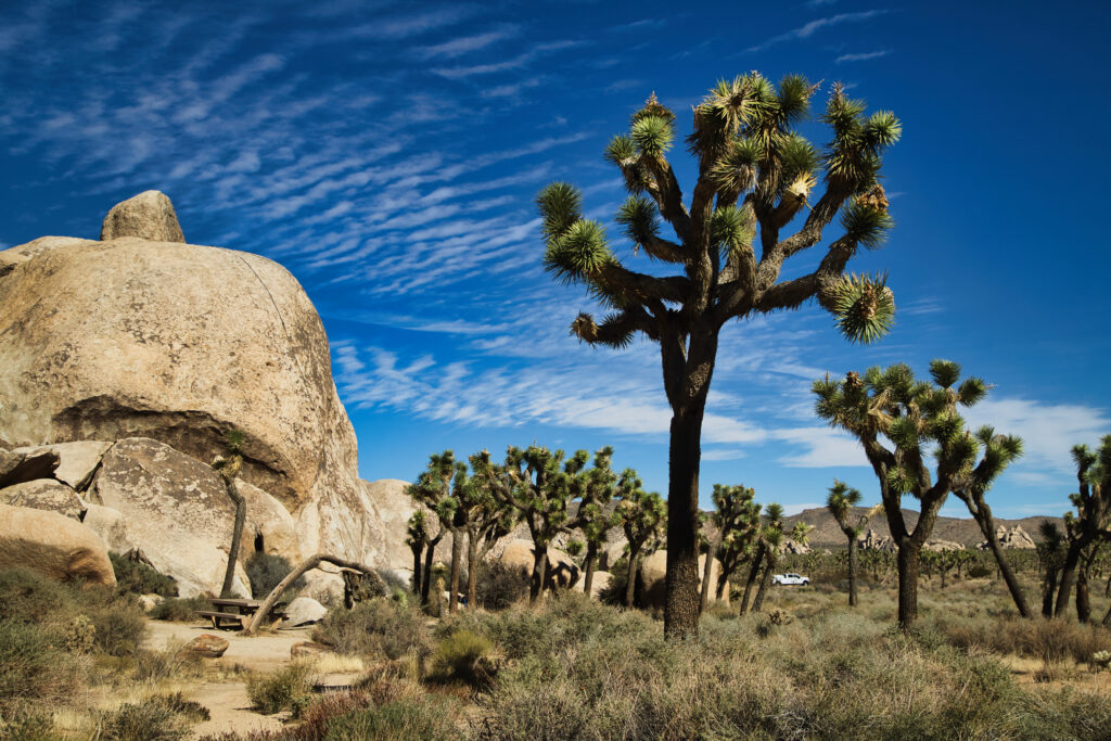
Joshua Tree National Park
During our visit, we stopped at several locations, such as the Hemmingway, Cap Rock, or the Hall of Horrors. They’re all interesting in their own way, but also rather homogeneous. We did a short hike in Barker Dom, which is a loop hike that goes behind a rock. There, one can see a dam that was built to give water to the farm animals that lived there. Unfortunately, the dam didn’t quite work as expected, so it was abandoned. Apparently, there’s water very rarely, so it’s not working according to specifications. Another of the highlights of the hike was a petroglyph located on the way.
Our next stop was the Keys View, which reminded me of the Death Valley. Vast valley with not much life, surrounded by mountains. It was very windy, so we didn’t stay there long. From there, we headed to the Jumbo Rock, neaby the Skull Rock. One can climb those rocks, so I gave it try while my mum waited for me. We continued the hike towards the camping place, which had a different landscape than the Joshua Trees we’d seen before.
Since it was nearby, we also visited the Split Rock, where we picked up three elderly ladies and helped them to reach their destination, as they were already tired of their walk. We tried to do the hike of the Split Rock, but we couldn’t really see the marking, and a bit afraid of getting lost in the desert, we went back to the car. There, we saw a group of photographers and models doing a photoshooting. I could’t envy the poor models – they had to climb a rock which they were clearly unconfortable with, and all that with little clothing when it was already getting chilly.
On the other side of the park…
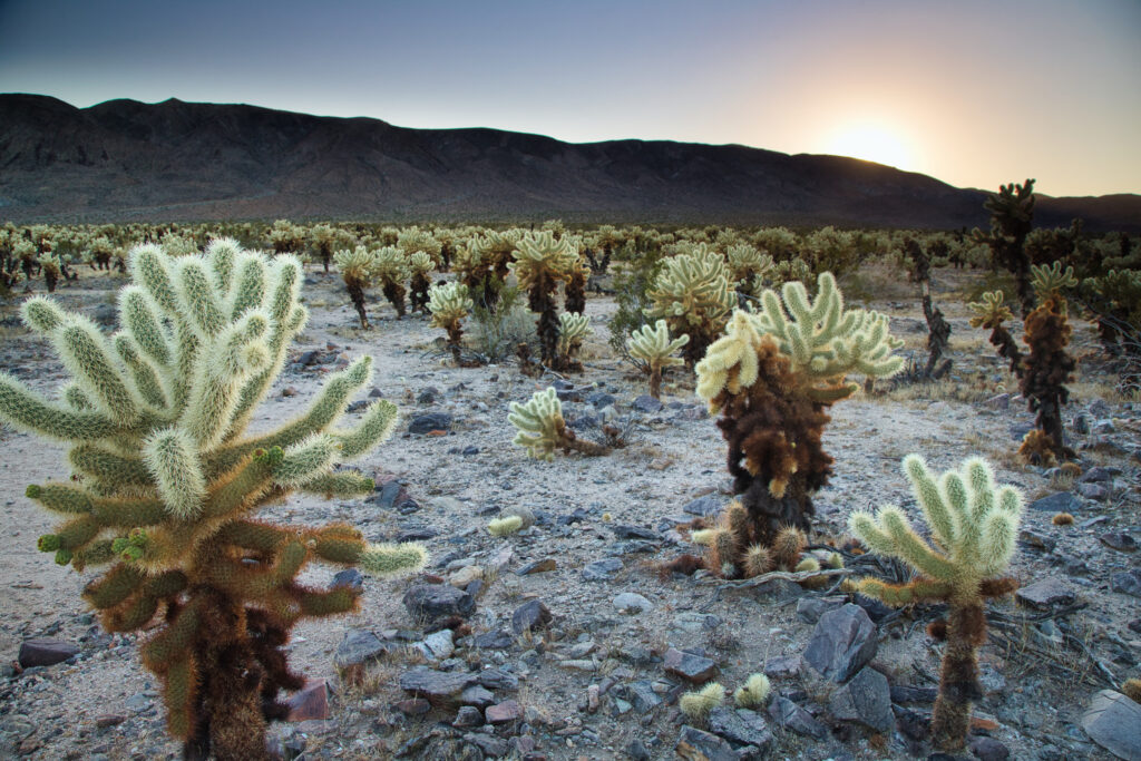
Our final stop of the day was the Cholla Cactus Garden, which was a bit further away from all the other view points. There’s so many of them! It’s like a sea of cactae. These cactus had their needles of a white-ish color, and they would stick to you if you accidentally touched them. I was hoping to see nice sunset colors, but there was no luck. We chatted with a photographer that was there too, and reached the conclusion that we had come at the wrong time of the year.
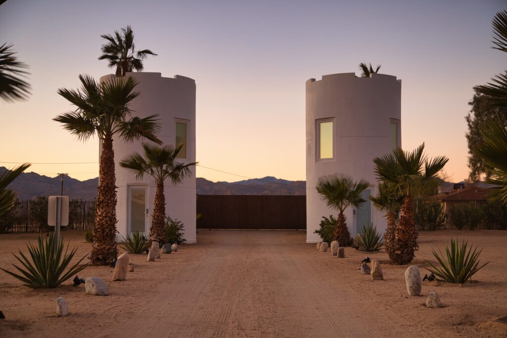
AirBnB at the Park entrance
If you want to stay in a cool AirBnB, Joshua Tree is probably one of the best places. We stayed in this AirBnB. I did book one of the towers for us, as I thought it was a fun experience to have. What I didn’t think about is that it’s a glamping place, and thus, the bathroom was outside of the tower. Something else I didn’t consider is that deserts at night are really cold, so overall the experience was less fun than what I had envisioned. To make things worse, we had bought some wood to make hotdogs for dinner, but we struggled a lot getting the fire going on. Being cold and hungry wasn’t helping to the whole atmosphere. We finally managed to cook the hotdogs enough to at least have a warm meal and went to sleep.
The tower had two floors, the lower one had kind of a living room, but without heating, while the top part was the bedroom, this floor with heating. One could also go out of the tower on the terrace, but the door was very heavy, so we only went out once, as we didn’t want to close the door again.
While in the evening we were tired and hungry, after sleeping the night we did enjoy the tower much more, and I got out at sunrise to take some photos with the nice light. I still think it’s a cool AirBnb, but maybe it’s better to do this activity in summer than late fall.
Day 6 – Visit Phoenix
Our next destinatino was Phoenix. I must admit I don’t always like driving through US roads – some are really desolated, with barely any signs of human or animal activity, which is a bit unconfortable for two women traveling.
Our first stop in Phoenix after lunch was the Pueblo Grande Museum. It’s a rather small museum, only a couple of rooms and a patio with petroglyphs. The museum explained the history of the Pueblo Grande, the native community of that region, and dived into how they fabricated their tools and how the petroglyphs were made.
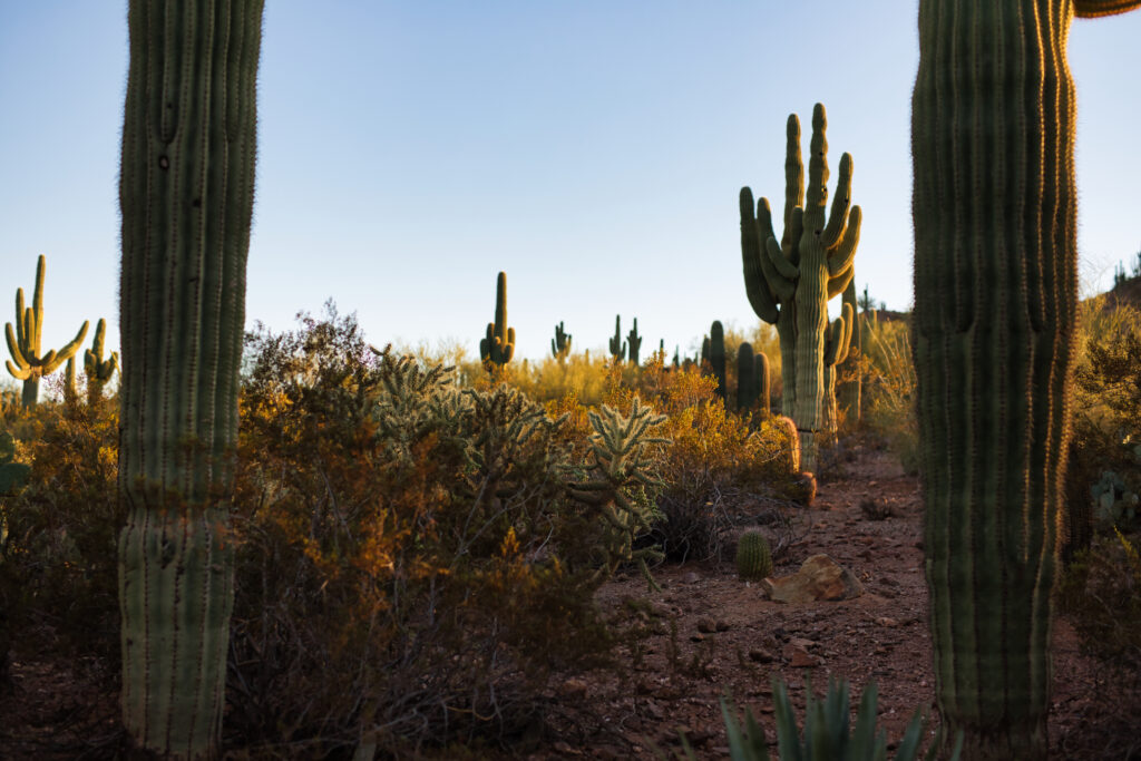
After this museum, we went to the Desert Botanical Garden. It’s an interesting concept, a botanical garden full with different species of cactae. It’s quite large in surface and it was well taken care of. The garden has a main loop, with smaller loops coming around the main one. Each of the side loops had a different type of cactae. The most fun for us was the saguaro (read su-wha-ro) cactus, since it’s the famous one from all the westerns. There were also cactus with the shape of a ball, one with huge needles, and even a species of short tree.
From there, we drove to Tucson, where we stayed in a motel.
Day 7 – Explore Saguaro National Park
Arizona-Sonora Desert Museum
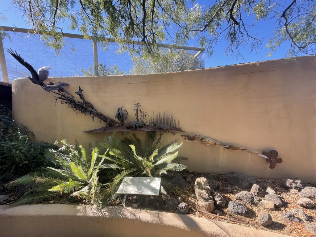
In the morning, we went to the Arizona-Sonora Desert Museum, which surprised me positively. This museum was quite similar to a botanical garden, with many species of plants and cactae, and also had plenty of activities, including some shows with birds. That was one of the first things we did once in the museum. The trainers showed some trained ravens, owls, and also birds of prey. They not only showcased the capabilities of these fantastic animals, but also explained their behaviors, natural habitats, and their biology, making it a very interesting event.
After the show ended, we went to the aviary, with pidgeons, parrots, and hummingbirds. We also managed to see exactly 0 animals in the cat and mammal cages, and decided to forego having a closer look to the manta rays because it seemed to be the most popular activity among kids. There were also many butterflies and statues of butterflies, which you could purchase by the modest price of 5k-20k USD. We also saw a collection of minerals, and a volunteer showed us a local tortoise. In summary, there was plenty to see, and at some point we decided to leave to get a chance to visit the Saguaro National Park.
Saguaro National Park
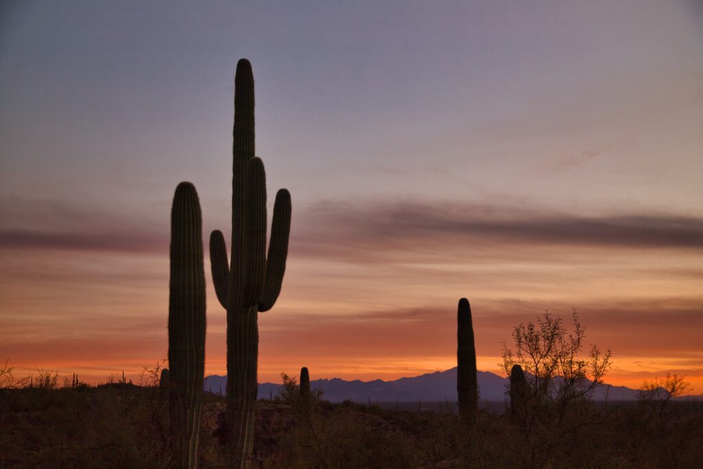
Saguaro National Park is divided into two, the East side and the West side. We decided to start with the West, where we did the Bajada Scenic Loop after taking the Hohokam Road. Then, we did the Valley View Trail, which has many densely populated cactae, and briefly picked into the Hugh Norris trail to take some photos of the cactus. We continued going through the loop until reaching Signal Hill, where one can take a route towards petroglyphs. Those were really interesting, with many representing animals, while others were geometric shapes. It is said there’s about 300 to 500 petroglyphs there.
We then continued to the East side of the park, for which we had to cross Tucson. Here, we also took the scenic loop, the Cactus Forest Drive Loop. Our first stopwas the Cactus Forest Trail, which I didn’t find particularly impressive. It was quite flat and was headed to a more humid part of the desert, which one could see based on the change of vegetation type. Here, the saguaro cactae were larger and had more “legs” on them. The mountains that surrounded this valley also seemed quite tall. We continued the tool until the Javelina Picnic Area, where we started the Freeman Homestand Trail. Here, we waited to the sunset to enjoyed beautiful views.
Day 8 – Drive to the Petrified Forest National Park
Petrified Forest National Park
Once again, we woke up early to drive to the Petrified Forest National Park, which was around 4:30 h away from where we were. This park was established in 1906 to protect the petrified wood that gives it its name. When we arrived to the park, the day was grey and chilly. We went to the visitor center to grab a map. This park is quite small, with a main road of 40-something miles, with different points to continue hikes or stop for viewpoints. Most of the park was private property, which felt a bit weird to me. The park is also only open from 8 to 17 h, which I imagine is to preserve the ancient wood, which is illegal to collect (although they also sell some at the souvenir store).
How do the trees form?
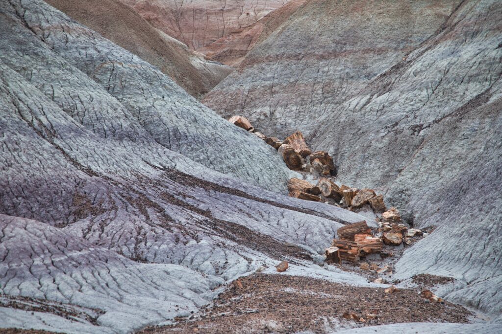
The wood proceeds from the Triassic Period, about 200 million years ago. It was preserved due to a mineralization of the wood, where the organic matter was slowly substituted by minerals. After the trees died, they fell into a river and were buried under layers of silt, mud, and sand. These layers protected the wood from the natural decomposition that usually takes place. Additionally, the mineral-rich water in which the trees were, infiltrated into the wood and saturated the logs. The silica crystals slowly substituted the carbon, resulting in a petrified tree. The colors of the trees depend on the minerals that were most common during this process: iron gave the orange to yellow colors, manganese the black colors, copper & iron resulted in blue tints, quartz was white.
What to see in the park?
We took Exit 311 from the interstate 40 and stopped at the visitor center, where we grabbed a map and basically did the points that it highlighted. Our first point was the Tiponi Point, where one had great views of the Painted Desert. From there, we stopped at the Tawa Point, where we did the Painted Desert Rim Trail, that went on the rim of a cliff, with great views of the desert, until reaching the Painted Desert Inn. We then stopped at the Pintado Point, where the views were quite similar to what we just saw.
We briefly stopped at the old Route 66 and took a photo with the abandoned car, and from there we reached the Tepees. The Tepees are badlands with grey-brown-purple colors, mixed in different strata. That already looked pretty cool, but I was in awe with the Blue Mesa and the Blue Forest that were to come soon. In those two spots, you could already start seeing the ancient wood. The sky was covered, which gave the landscape a more devastated look, although some rays of sun passed through the clouds, illuminating some of the trees.
We finished the day walking next to the Agate Bridge, a log deposited over a small cliff, forming a natural bridge, and the Jasper Forest, a place with lots of logs. Since it was getting late, we decided to finish the rest of the points the next day.
Day 9 – Drive to Page
Finishing the Petrified Forest National Park
The first thing we did was to finish what we had left from the previous day: three more points of the Petrified Forest National Park. Those were the Crystal Forest, the Giant Logs, and the Long Longs. From these, I liked the Crystal Forest the best, as it had beautiful trees on badlands. We then stopped at the Rainbow Forest Museum, where one could see some dinasaurs. 200 million years ago, this region was densely populated by plants and diverse animals, which nowadays can be confirmed by the presence of fossils.
Meteor Crater
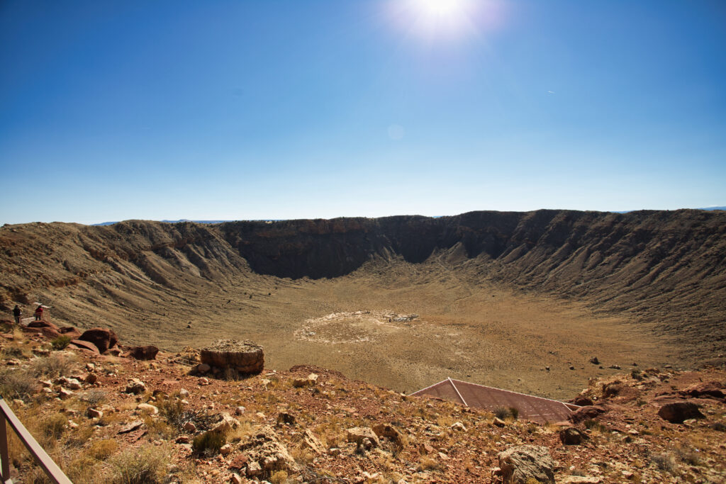
We didn’t have more plans for the day, except to drive to Page, as I was unsure about how long we’d take at the park. Nonetheless, we found some interesting stuff on the way. On the highway, we saw a sign indicating the Meteor Crater, and not knowing what it was, we decided to stop. That was certainly a good decision. Meteor Crater is the best preserved meteor crater of the world, formed about 50,000 years ago, when an asteroid impacted the Earth at 26,000 miles per hour. The crater has a circumference of 2,4 miles. Next to the crater, one can visit a science museum with focus on meteors and their potential impact on planets. We could watch a movie about how the crater was formed and then enjoyed a 4D short. It was overall a very cool and unexpected stop.
Sunset Crater Volcano
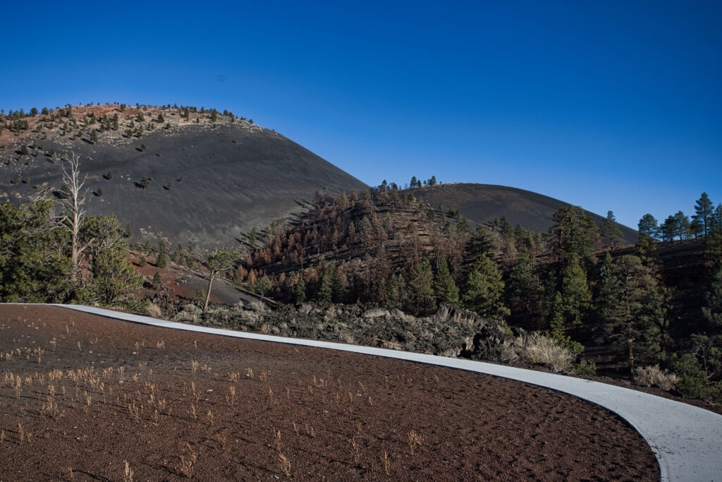
Once we reached Page, we stopped at the Sunset Crater Volcano. Unfortunately, there had been a fire in 2022 that had destroyed 60% of the monument, so most of the park was still closed. One of the few areas open was the Lava Flow Trail, which had been rebuilt after the fire. From this trail, one could see the cone, formed in 1080. We briefly stopped at the A’a Trail, but since most of it was closed, we left quite fast.
Day 10 – Visit the Antelope Canyon and the Waterholes Canyon
Upper Antelope Canyon
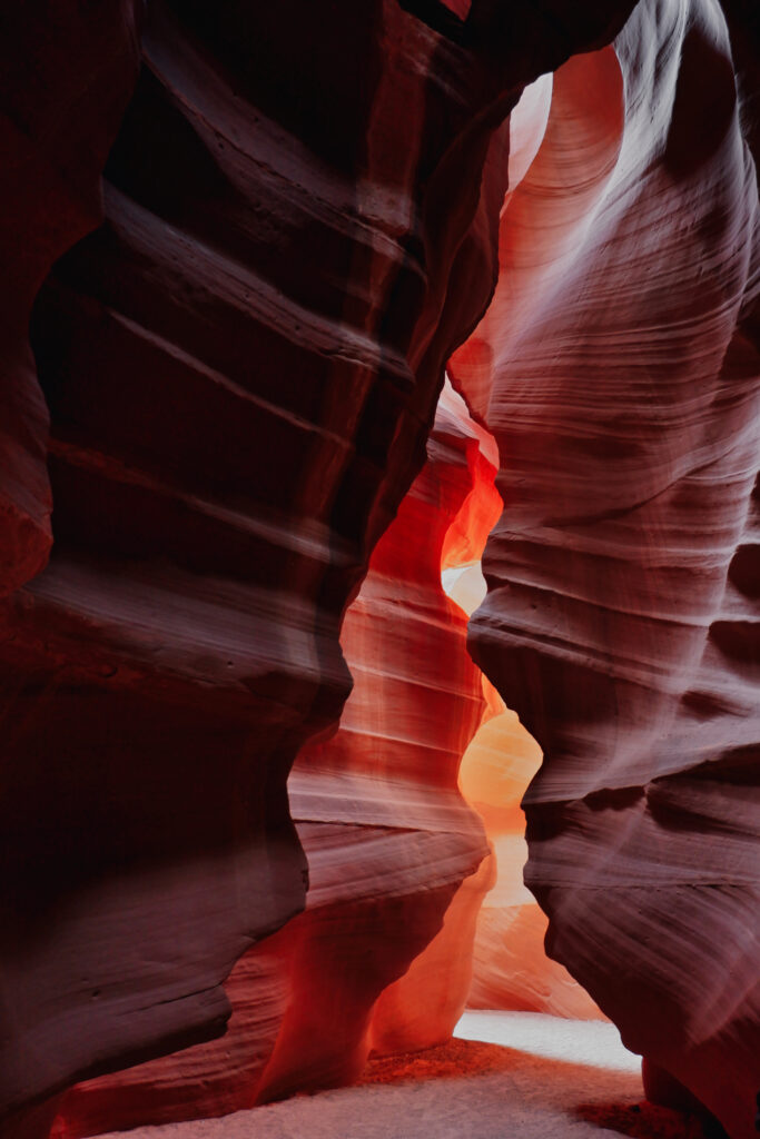
This was my second visit to the Antelope Canyon, but it was so beautiful that I didn’t mind visiting it so soon after the last time. We went with a tour (there’s no other option nowadays for crowd control), and a 4×4 drove us until the entrance of the canyon. We had taken the tour at 7:50, so there was still not much light inside the canyon. At this time, most of the canyon was still dark, with light popping up towards the end of the tour. The guides are really efficient in pointing out to the best photospots and they take great pictures of you. While the experience does feel a bit rushed – many people in a small place, with groups coming in quite regularly, the canyon is really beautiful.
The canyon is only one way, so the return is done through the top part, quite an easy hike. This time, our guide also drove us a to another canyon nearby and we could take some time to visit that one too.
Waterholes Canyon
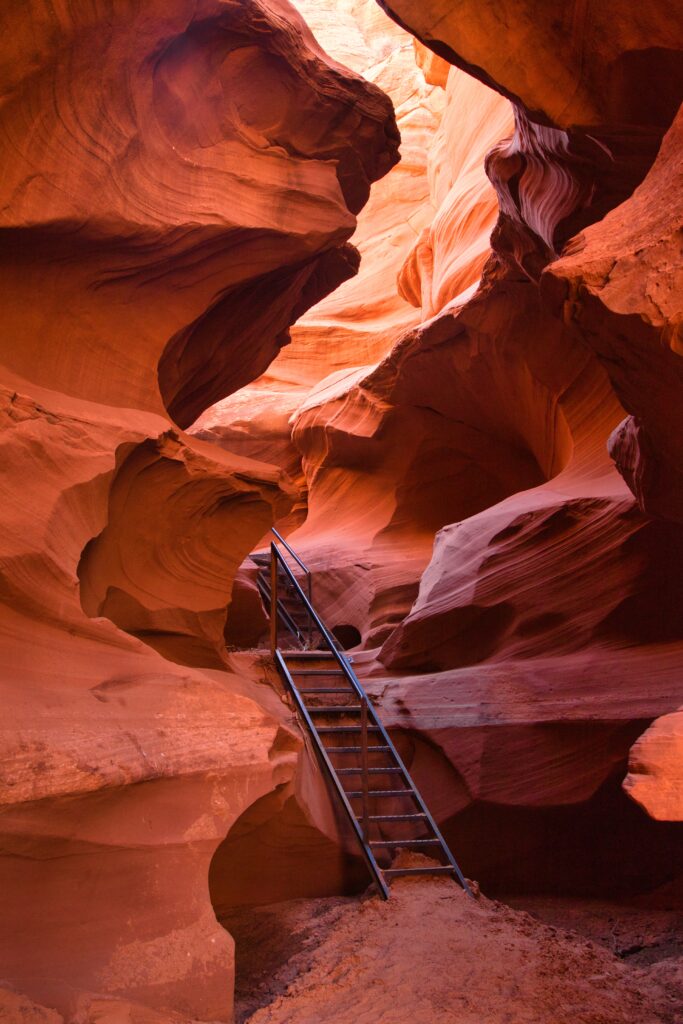
On our way from the Antelope Canyon, we stopped to see the dam, and then drove to the Waterholes Canyon. We were the only ones who had booked for that day, so we got a private tour. This canyon consists of three consecutive canyons. The first is the most ample one, while the second was much narrower, and thus also more fun to explore. We had to use some stairs to go down this second part. The third canyon was less tall than the second and also more ample. In total, we walked for around 2 miles and took about 2 h with the photostops.
For dinner, we opted in for a Texas-style BBQ, and then went to the Horseshoe Bend to see the sunset.
Day 11 – Touring Escalante
I had tried to get tickets for the Wave, but wasn’t lucky with the lottery, so instead I planned to do a tour at Grand Stairacase – Escalante. We booked with an elderly couple, who had this tourism and restauration business. Our guide explained us that we were the last tourists of the season and after us they would leave on holidays. His wife explained how she started learning guitarre at 68 years old and even played us a song. Super nice couple!
The places to see in Escalante
Our guide drove us through Escalante, making brief stops to take some pictures (the temperature was really cold, 20ºF or -6ºC!), but as the day warmed up, we started doing longer stops. Our first stop was Cottonwood Narrows, a small canyon that wasn’t very long, but was created by extremely tall mountains. We then stopped at Grosvenor Arch, a pretty impressive arch in the middle of the desert. The next stop was Hackberry Creek, which already had frozen water, forming beautiful crystals. We walked a bit over the frozen water and stopped once the water seemed to get deeper.
After a brief lunch, when we met a Swiss group from Lausanne, we went to see some beautiful and colorful mountains. In our last stop, we could see an area with fossilized wood. Contrary to the Petrified Forest, here the wood pieces were really small, since people had taken the larger logs to sell them. It was also an area where an indian tribe used to live, so it was possible to find arrowheads, although we did not get lucky and only saw pieces of them.
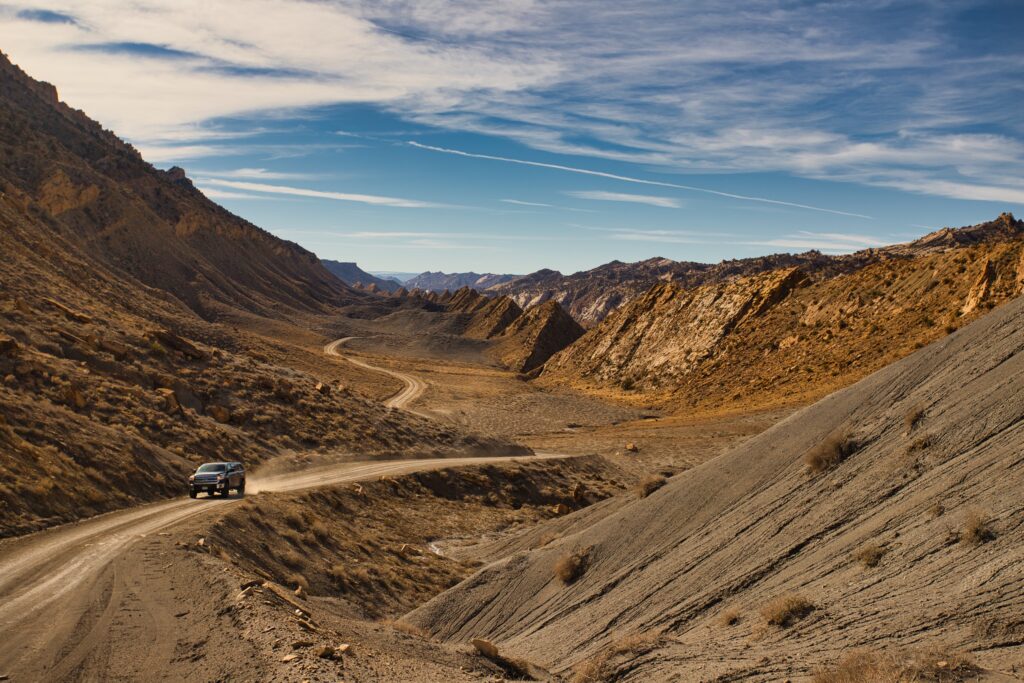
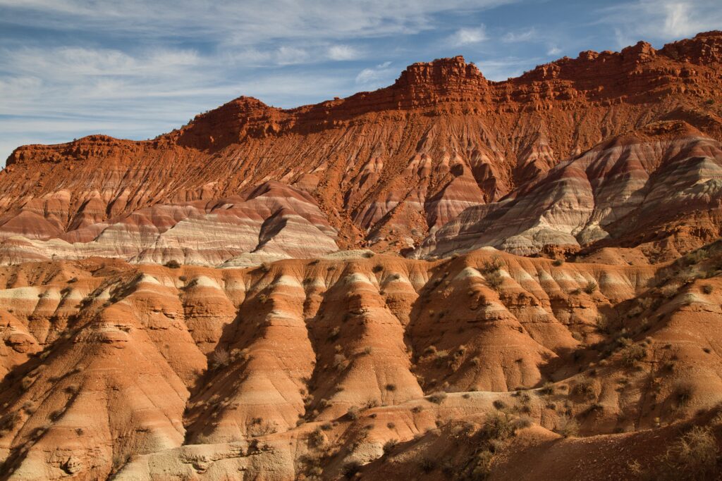
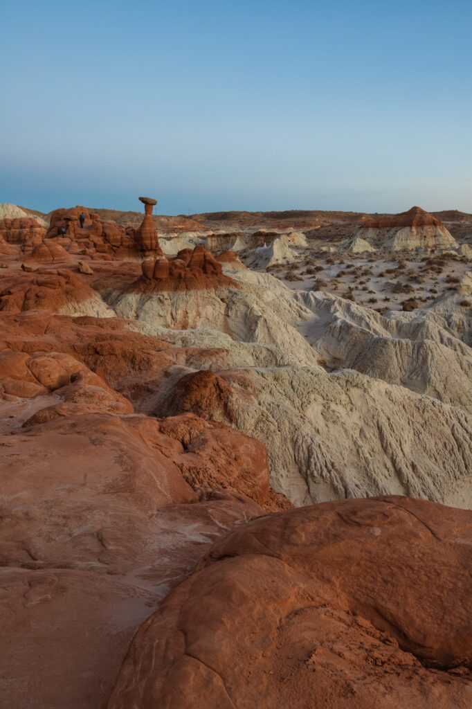
For sunset, our guide recommended us to fo to the Toadstool Trail, which is the most famous place from Escalante: a large rock balancing on top of a pillar. We stayed in the area until sunset, enjoying the pleasant views. For our next visit, the guide recommended to see the Coyote Buttes South, so that’s on my bucket list!
Day 12 – Drive to the Valley of Fire & arrival to Vegas
On our way to Las Vegas we decided to stop at the Balley of Fire, a state park not too far from the city. We started doing the hike of the Seven Wonders, where you reached first the Fire Wave and then the Pink Canyon. There, there was some water, so we had to go around the canyon instead of going through it. After the canyon, there was much less people on the trail, and we got to see another small canyon, equally beautiful as the pink one. There were some nice formations on the ground too, with beautiful pink, yellow, and orange colors.
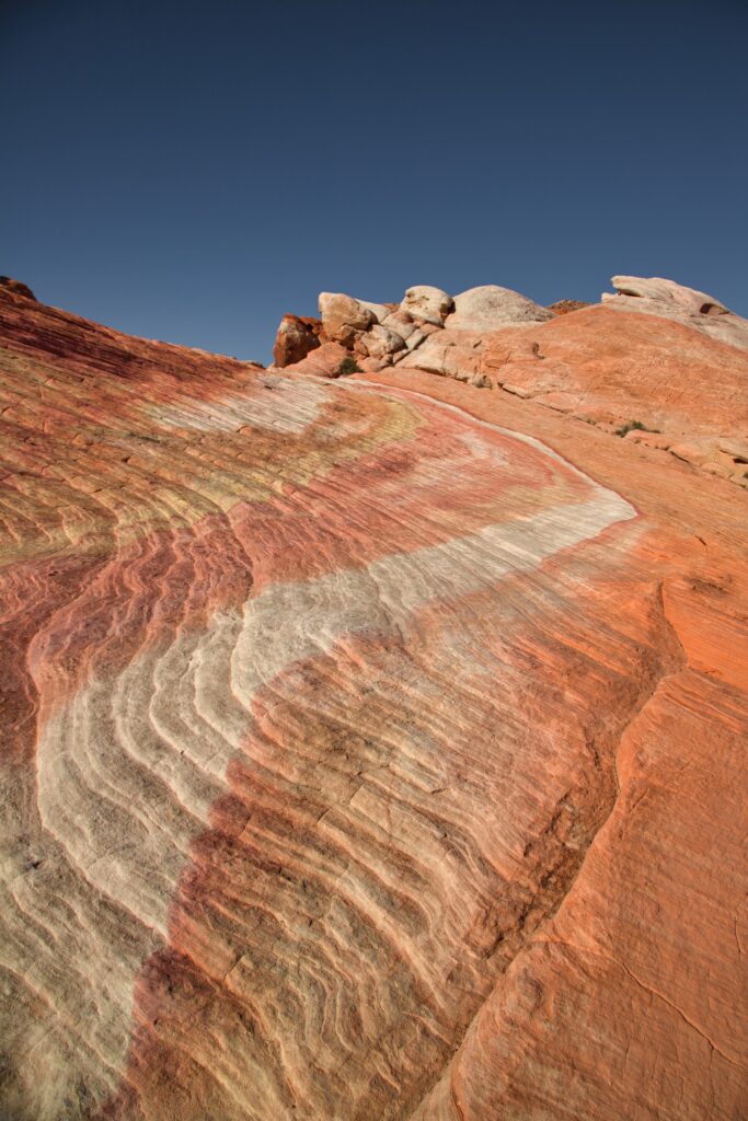
The Valley of Fire was much warmer than previous parks, and we were really overdressed for it, so it got a bit unpleasant. Thus, before starting our next hike, we went back to the car to remove the extra clothes. Now, we could start the hike of the White Domes. The first part of the hike was really crowded, but once again, the people dissipated and the most beautiful area of the hike, at least in my opinion, was there only for us – a narrow and tall canyon.
After this hike we went to the Rainbow Vista, which was less interesting than what we had just seen. We also saw a petrified log, which obviously had nothing to say after we had been in the Petrified Forest National Park. Finally, we stopped at the Beehives, which were large structures that reminded by the shape to beehives. You could climb those structures, which was quite fun.
Las Vegas
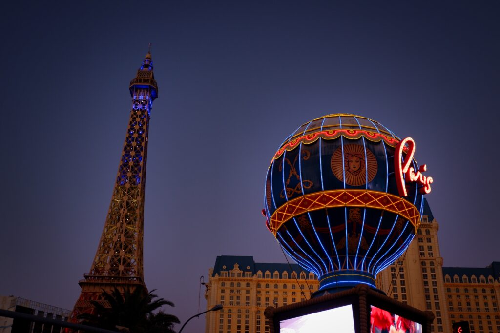
We had booked our hotel at the Strip so it would be convenient, and after checking in, we went for a walk in the city. We first stopped at the Bellagio Fountains and saw them in action. I’ve seen enough fountain and light shows (Font Màgica de Barcelona, shows in Singapore, la Rêve d’Eau in Geneva) that I’m hard to impress, and while these were pretty, they were not particularly spectacular. We then stopped at the Volcano in Mirage. I found this one much more interesting, with all the fire and the water illuminated red to look like magma. Both shows lasted approximately 3 min each.
Day 13 – Visit Las Vegas
This was a shopping day in Las Vegas and in the evening we went to Hell Kitchen. If you decide to go there, I recommend to get a reservation. We didn’t have one, and they accomodated us, but people after us were not that lucky. We ordered the most famous dishes: a lobster risotto, a Wellington beef, and a pudding. It was delicious!
After dinner, we went to the show O by the Cirque du Solei. It was really impressive. The stage was a giant swimming pool where the depth could be changed. Acrobats jumping on a ship in the air, clowns walking around and enterteining the public, contortionists doing all kind of shapes, acrobats playing with fire, swimmers doing synchronized swimming; all these professionals had come together to create a unique show. There was not much of a story, but the visuals were really impressive.
Day 14 – Drive to Mammoth Lakes
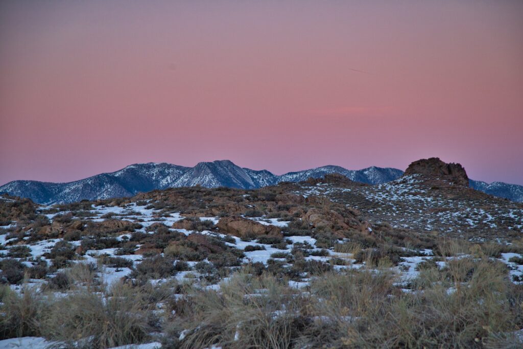
We left Las Vegas early to drive to the Mammoth Lakes. It was quite a long trip, and we didn’t find any interesting stops along the way that we considered worthy of stopping. Contrary to Vegas, where the weather was quite warm, the Mammoth Lakes were already in full winter season, and there was plenty of snow and multiple closed attractions. If that wasn’t enough, it was also Thanksgiving, so all visitor centers were closed. Without any map or recommendation, we decided to go to the Hot Creek Geological Site after checking Google Maps. The road was already closed due to the snow, so we had to walk until the creek.
The place wasn’t too spectacular. There was some sulfur smell, with some areas where the hot water seemed to exit and go to mix with the river. The nicest part was seeing the mountains covered with snow, especially during sunset.
Day 15 – Drive to Lake Tahoe and return to San Francisco
In the morning we drove towards Mono Lake. After seeing a photo of it on my Apple computer screen for years, I really wanted to see it in real life, so I was quite disappointed when we arrived and it was all covered in fog. We walked a little bit around the lake, but apart from a dead bird, we couldn’t see a thing, as the fog was getting denser.
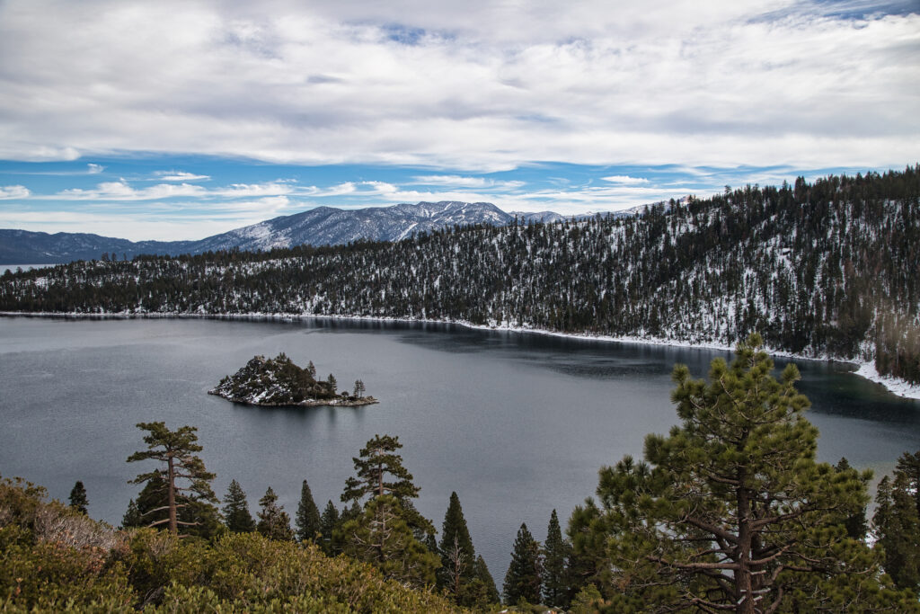
Since the visit to the Mono Lake had been unsuccessful, we decided to drive until Lake Tahoe, in particular to the Inspiration Point from the Emerald Bay. Lake Tahoe is a beautiful place, and therefore, we had to queue for 30 min just to get a parking spot to see the views.
Due to all the waiting, it had gotten quite late, so we drove directly back to my place in the East Bay.
Highlights of the trip
I really love the natural landscapes that you can see in the USA. The variety is impressive, and many of them are easily accessible.
- Petrified Forest National Park. I found the petrified trees fascinating.
- Canyons in Utah. I can’t say I have a favourite canyon, since there’s so many that are intersting. Obviously, the Antelope Canyon is the most famous, and being narrow and with high walls, it’s definetly intriguing. But that does’t substract from other canyons, so if you can’t get tickets for the Antelope don’t get disappointed, as others will give a similar experience (sometimes even better as there surely will be less people).
- Valley of Fire. I was positively surprised by the Valley of Fire, which had gorgeous colors.
- O by Cirque du Solei. I can’t say I like Vegas much (I find it too artificial), but the shows that they have are really awe-inspiring, and certainly O is worth going.
- Lake Tahoe. While the Emerald Bay is not necessarily my favourite part of Lake Tahoe, it’s such a beautiful area that any point is good to see if you have the chance.
Practical advice
Is November a good month to visit?
November is an interesting month to visit. Except for Thanksgiving, it’s a month with low traffic, so you can find good offers. The weather can be a hit or miss. For more desertic places it’s actually the best time – it’s still warm enough, except at night, but without being hot and dangerous, so you’ll be able to do some hikes that are impossible in summer. However, if you’re visiting more mountaneous areas, you may find yourself surrounded by snow.
Thus, if you’re doing such a varied trip as we did, you’ll need to pack quite a lot in terms of personal belongings, but also for your own safety, especially if you hear about snow storms coming.
November comes with another disadvantage, and it’s that the days are short. Thus, long traveling distances really cut on the amount of things you can do.
Traveling in Thanksgiving
Since it’s a public holiday in the USA, many people are off. Most attractions will be closed (no visitor centers, tours, etc.), and natural areas can be extremely crowded. The previous year I visited the Grand Canyon the day after Thanksgiving and the bus driver told us that the bus was really packed. Plan ahead what you want to do if you decide to travel during Thanksgiving.
Good to know
- If you’re heading to a national park with risk of snow, it is compulsory to carry chains on you. If you have your own car, it’s not a bad idea to buy them. However, if you’re renting a car, be aware that putting on chains is often not allowed and you’re making the insurance agreement void.
- I wouldn’t personally recommend driving at night, at least not for long distances. The roads in the US can give you fatigue quite fast, especially if you’re not used to driving. Everything is very remote, which doesn’t always give the best feeling.
What would I change if I were to do this route again?
This was an ambitious route during a time of the year without many sun hours, so if I were to do it again, I would probably allocate some more time for several of the attractions. I don’t think I had enough time to visit the Sequoia National Park, which due to the snow was harder to see. My last days were also quite hurried, so the Mono Lake and the Mammoth Lakes felt only like an after-thought. They are cool areas, but I’d probably come during a different season. Lake Tahoe also deserved a full day.
Is it safe for women solo?
We were two women traveling, which is not exactly women solo, but it’s similar enough. I would say most of the time we felt ok. Now, I also know which areas to avoid in San Francisco, and in LA or Vegas we always stayed to the most touristy spots. Cities can get nasty really fast around here, so be vigilant of your surroundings. Regarding natural landscapes, it’s the same as always. Most of the time all should be ok, but the US is vast and it’s easy to disappear, so leave your whereabouts with someone and don’t be too trusting.
Want more inspiration?

