Hiking Les Mosses – Lac Lioson – Pic Chaussy
Getting there
From Geneva, this hike is much more accessible by car than public transport (2 h vs 3:30 h). If coming by train, one can transfer in Aigle to take R71 to Sépey and from there the bus B175 to Col des Mosses.
Starting point: Les Mosses parking or Col des Mosses if coming by public transport
Finishing point: Les Mosses parking
Distance: 11 km
Total time: approx. 6 h
Elevation gain: 860 m
Fitness difficulty: Moderate
Technical difficulty: Moderate
Facilities: There’s a restaurant with a bathroom for clients nearby Lac Lioson. They don’t have a fountain with drinking water.
Notes: We could see people swimming in the lake, which can be a great activity for summer. There was plenty of small kids at the restaurant area too, so the first part of the hike is very family-friendly.
The hike
Hiking to the Lac Lioson
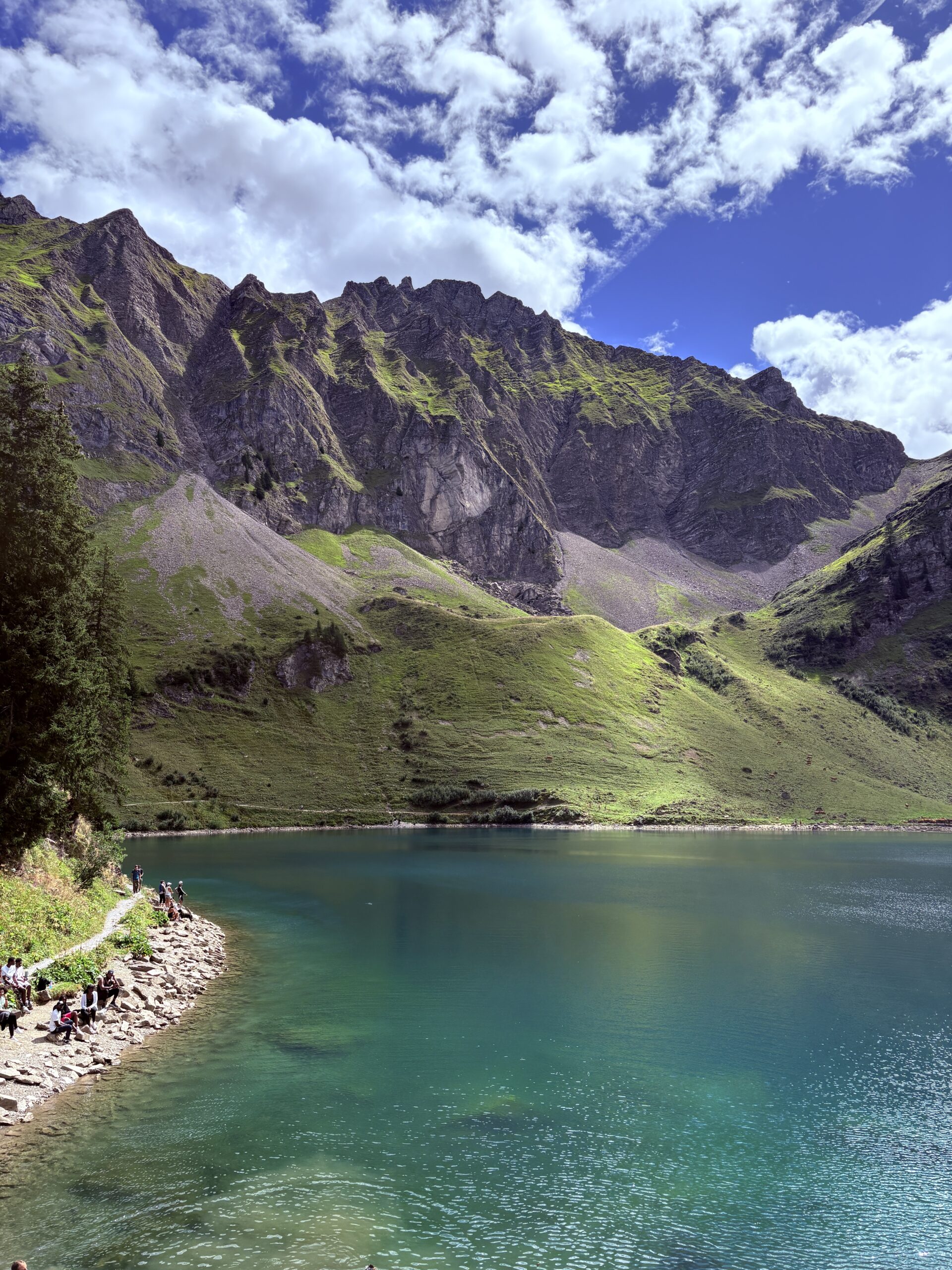
We left our car in the parking lot in the city, on a day when a small market was happening, so it was quite crowded. Some friends joined us in the parking lot, and all together we started going uphill to reach the restaurant near the Lac Lioson. This first part of the hike, which covers approximately 400 m, was quite straighforward. We eventually reached Lac Lioson and stayed in the restaurant nearby for lunch. The restaurant serves the traditional meals that one can get in such restaurants, including sausages, cordon bleu, and some local tarts.
Towards Pic Chaussy
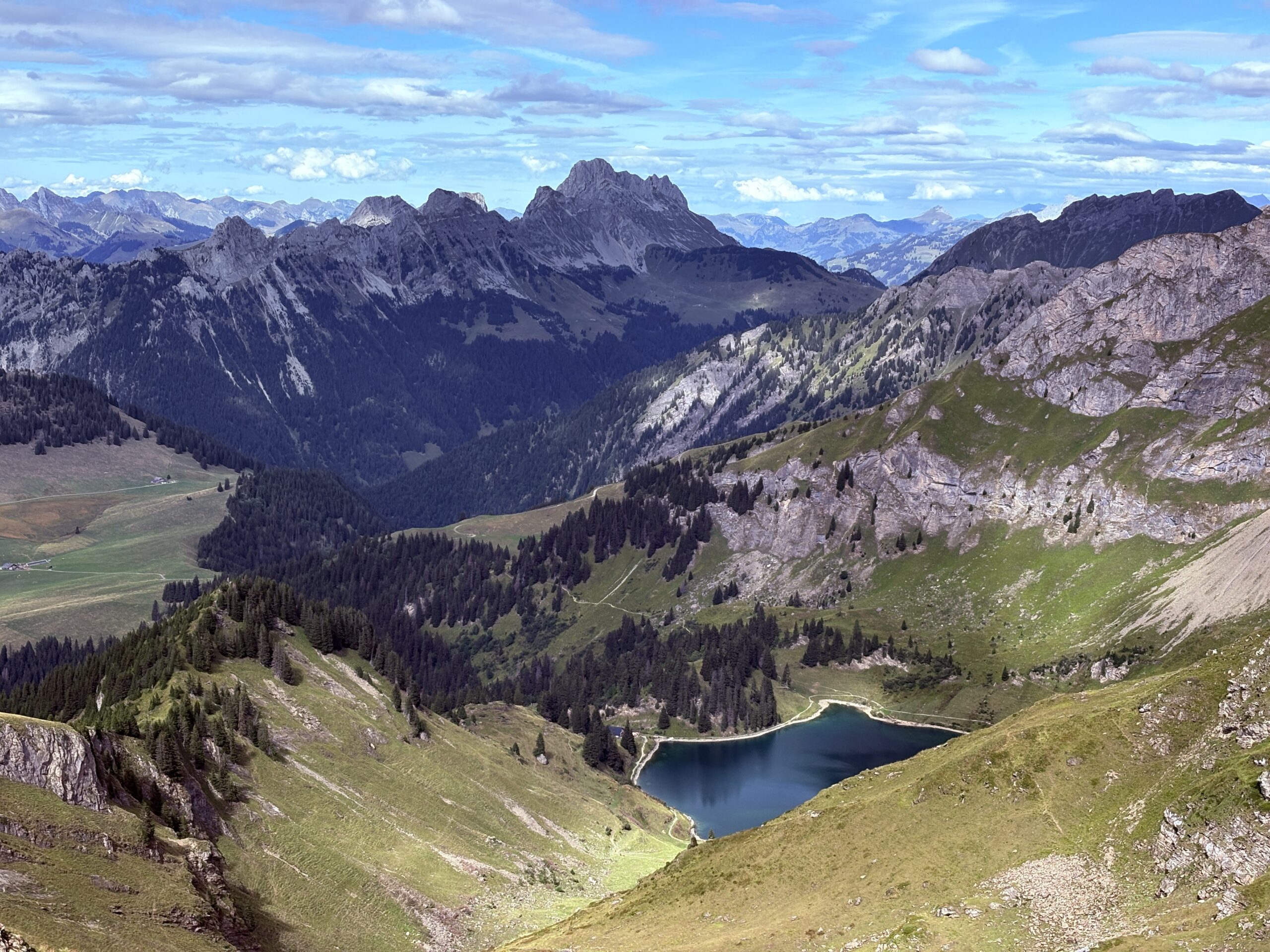
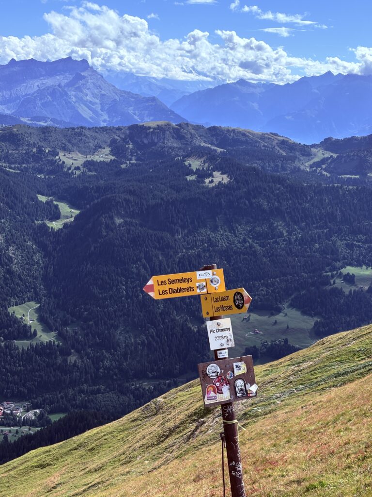
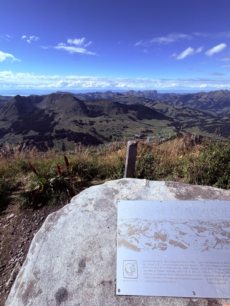
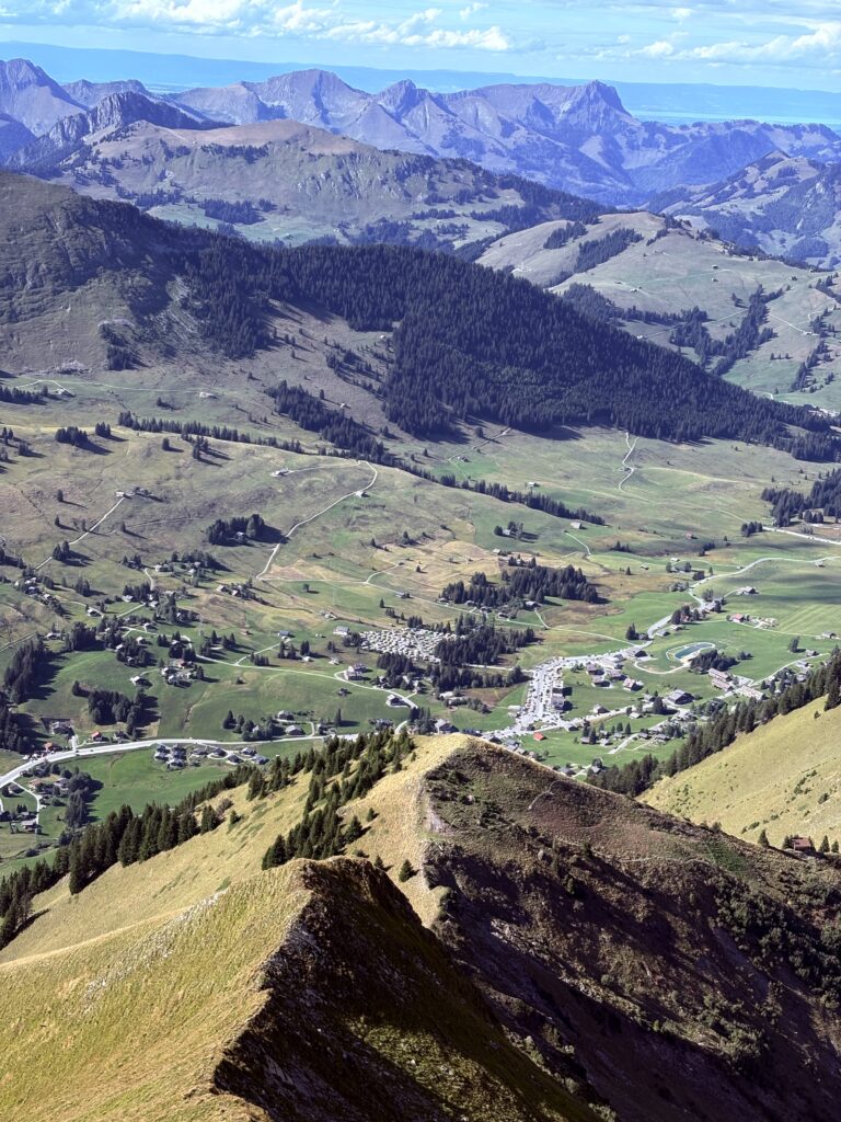
After a relatively steep, but not very exposed, climb up, we reached the peak. The views from the peak were great – on one side we could see the Lac Lioson, and on the other we had the valley with several cities. We could also see multiple small glaciers on the mountains, directions to reach Les Diablerets, and also Leysin and Tour d’Aï, two other great hiking destinations.
Down through smaller lakes & seeing ibexes
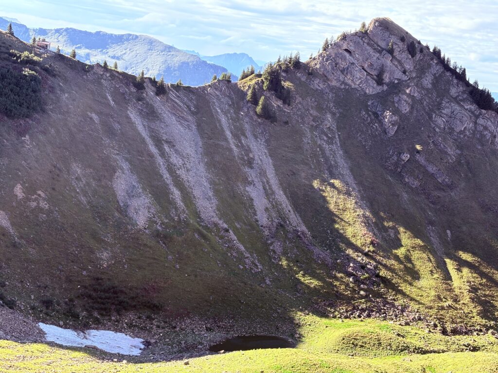
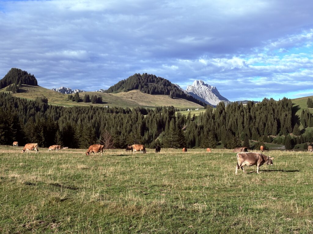
To avoid taking the same route, we turned to the left during our descent to now pass through some smaller lakes. On the bottom of the valley there were cows just eating grass. When we passed by, one got curious and started sniffing my leg. Suddenly, she decided to lick me! I think I did squeak a bit, so the cow got scared, and we both continued our paths.
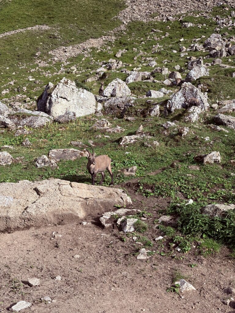
We then passed an area where we could see at least 12 ibexes. Ibexes are great in camouflage, and if they don’t move they might be challenging to spot for the untrained eye. They did not seemed particularly bothered by our presence, so we wondered if they belonged to the hut that was right in front, where they had some wooden sculptures representing ibex heads.
After the ibex valley, the landscape changed a bit and was much more foresty than before. We crossed a small river and continued descending until the path merged to the one we had taken to get up. There, the paved road started. On the way back, we stopped at a local cheesemaker, who complained about the warm summer and how this had affected his cows. We passed the cows he was talking about, and eventually reached the parking lot, where we were the last car left, as we were finishing the hike at around 18:00.
Highlights of the hike
The hike offers stunning views of the surrounding mountains from the top of the peak.
Want more inspiration?