Panorama hike around the Lac de Moiry
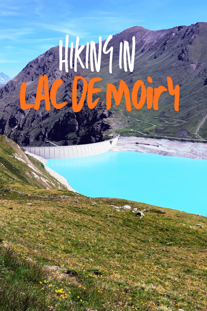
Looking forward to see glaciers? Look no further, as this panorama hike around the Lac de Moiry offers you spectacular views of the Glacier of Moiry as well as the Lake of Moiry, with its beautiful blue waters. To arrive to this hike, you can take a train until Sierre/Sieders and from there you’ll need two buses, the B451 from the station until Vissoie, poste, and then tranfer to B452 to Moiry VS, barrage. It’s a bit of a trip, but the hike is worth it.
Getting there
Starting point: Restaurant Barrage de Moiry
Finishing point: Restaurant Barrage de Moiry
Distance: approx. 13 km
Total time: approx. 4:30 h
Elevation gain: approx. 360 m
Fitness difficulty: Moderate
Technical difficulty: Moderate
Facilities: There’s a restaurant, a toilet, and a parking spot next to the start of the hike. Once you reach the Lac de Châteaupré there’s another toilet and some tables to eat, as well as another parking place.
Notes: There’s absically two main routes that one can combine as wished. One goes above the lake, which is more challenging, and the other goes right next to it, and is mostly flat.
- Swimming is not possible in the lakes. The Lac de Moiry is actually a dam, so it’s a pretty bad idea to do so.
- There’s a couple of spots that can be hard for people with fear of heights in the hike that goes above the lake.
The hike itself
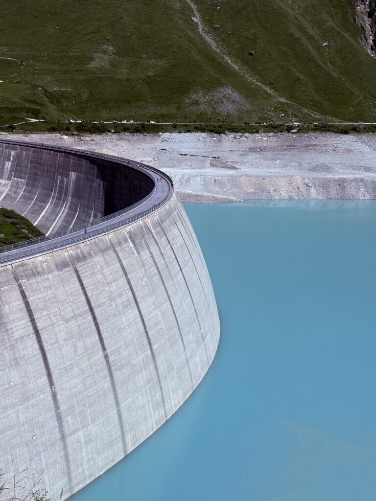
When you arrive to the restaurant, there’s some paid parking spots (the ones next to the restaurant are for the guests!). To start the hike, we crossed the dam and could read about it’s technical properties. Our first impression was that the color of water was really interesting and particularly beautiful. The other striking issue was the low level of water. It’s been a hot summer…
Once on the other side, we started climbing the hill. Here one needs to be careful to decide which hike to make – either the flat easy one around the lake or the more challenging one (route 221).
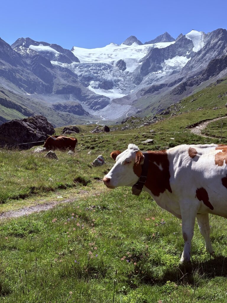
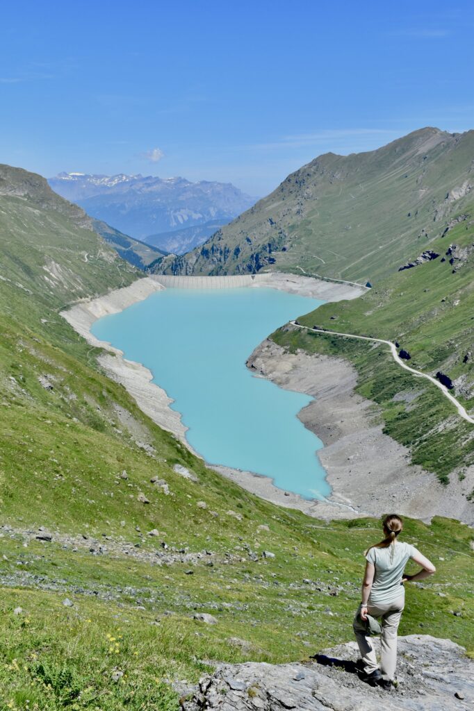
We did a combined hike, starting with the more challenging route, which offered spectacular views of the glacier, in front of us, and the lake, to our left. The route has its ups and downs, but it’s not extremely challenging. Only at one point, shortly before reaching the peak, did the route become steeper, and some people descending it were using their hands. Once up the peak, we got rewarded with beautiful views of the mountains and both Lac de Moiry and Lac de Châteaupré.
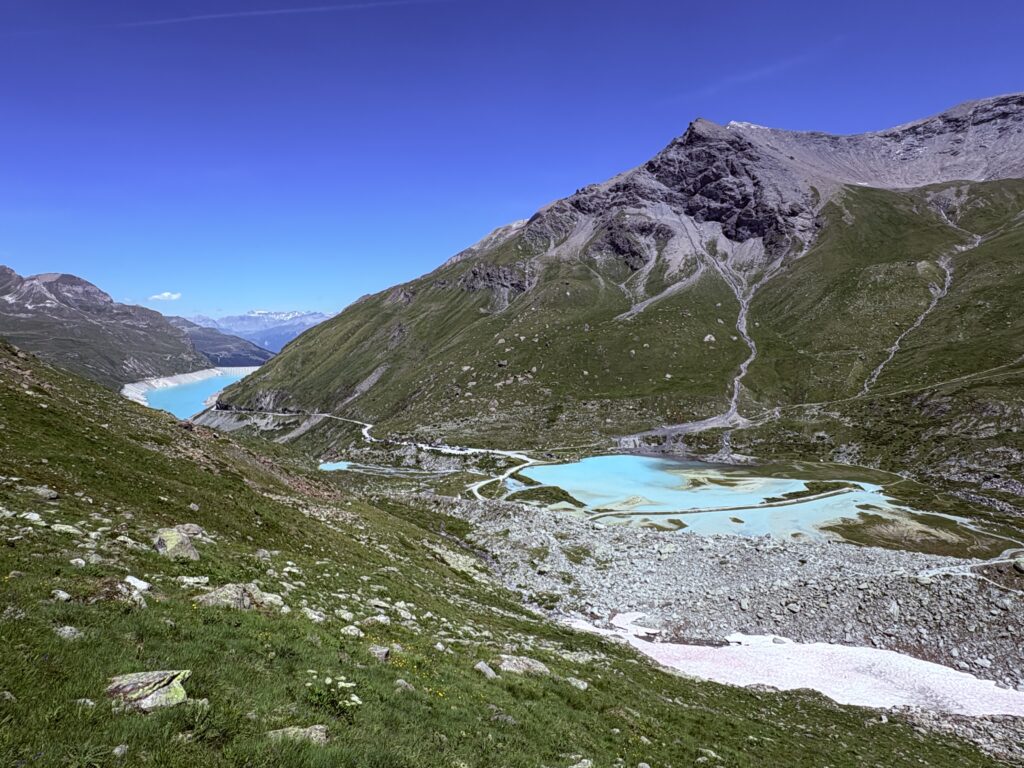
We then descended to the Lac de Châteaupré, which is quite crowded since there’s a parking spot nearby. It’s also an excellent place for lunch, so we had a longer stop enjoying the views.
We then continued next to the river and crossed a bridge to remain on the same side where we did the way to the Lac de Châteaupré. We preferred this to stay mostly on the road if we were to take the other side. The area surrounding the bridge is very bucolic, and several people were fishing. It’s a really beautiful place.
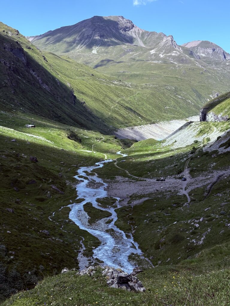
The way back we took was very straighforward, just walking on the flat path. The last few hundred meters were going up before dropping again to the altitude of the dam.
Highlights of the hike
It’s really a gorgeous place! The color of the water is really beautifully blue, and you can see a glacier on the background. It’s sad to compare the size of the glaciars – even the photos that my friend showed me from 2 years before were showing a much larger piece of ice. However, the natural beauty of the place is spectacular.
Need more inspiration?