Hiking the Sentier du Rhône
Arrive to Geneva and take tram 14 or bus 19 from the Gare Cornavin (main station) to Jonction. You’ll be surprised how close nature is to the city!
Getting there
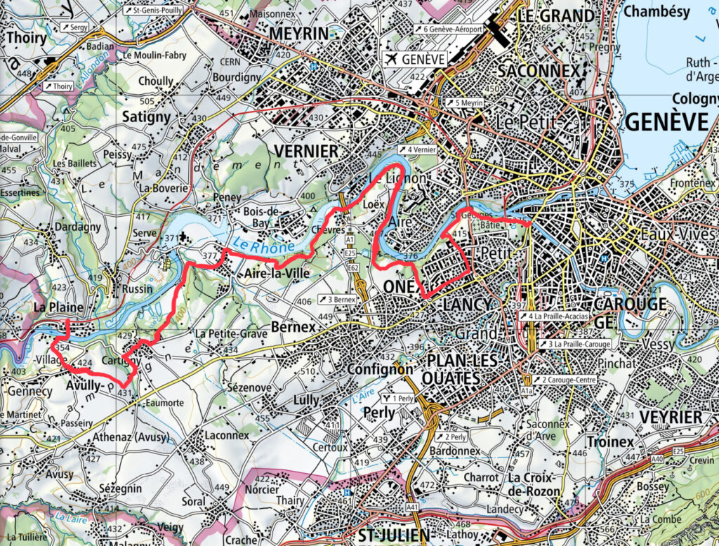
This hike conveniently starts from the city of Geneva, and follows the Rhône until almost reaching France.
Starting point: Jonction, Geneva
Finishing point: La Plaine
Distance: 22 km
Total time: approx. 3,5-4 h
Elevation gain: 460 m
Fitness difficulty: Moderate
Technical difficulty: Easy
Facilities: Since it goes through several cities, there are cafés and restaurants around.
Notes:
- As of April 2026, there was a landslide covering part of the hike and also a bridge on the making. A detour is offered in SwitzerlandMobility through the city.
The hike itself
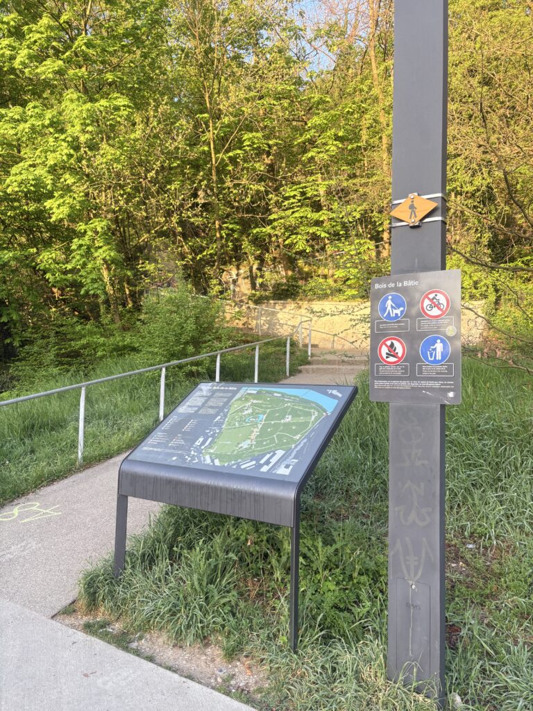
The hike starts crossing a bridge away from the tram station Jonction, and climbing up a foresty area to get some panoramic views of the city.
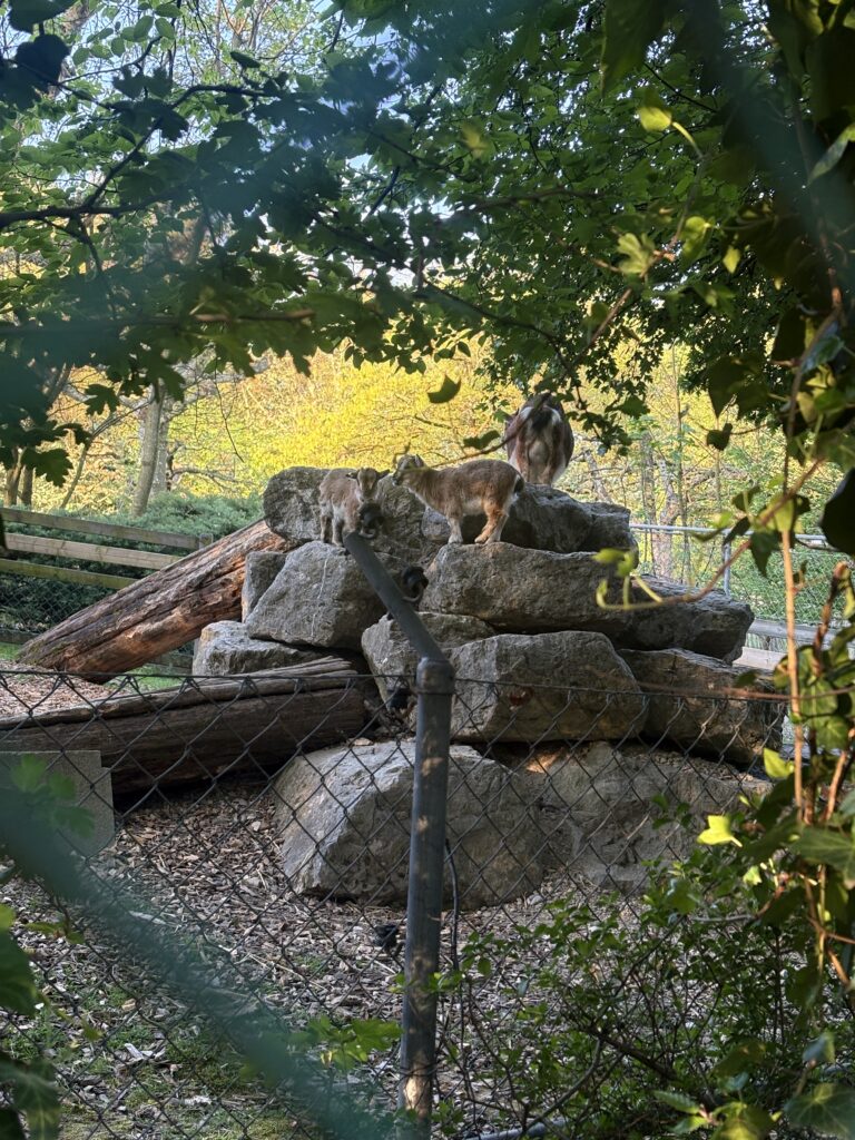
After a short walk, I arrived to the Parc aux animaux, a small zoo-like enclosure, which had common animals such as goats and some birds. It’s possible to enter in the parc for free and the animals were really cute! There were some baby goats that were being noisy for the fun of it. April is a good season to visit!
The hike continues next to the river and is overall quite flat. There’s a couple of areas where there’s labels telling you that flash floodings are possible and to be careful, but that’s where the hike brings you.
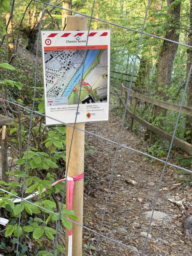
Before reaching Onex, the path next to the river had a landslide, which was quite unfortunate, as the alternative path passed through the city for almost a kilometer. You can check on SwissTopo whether the path is open again.
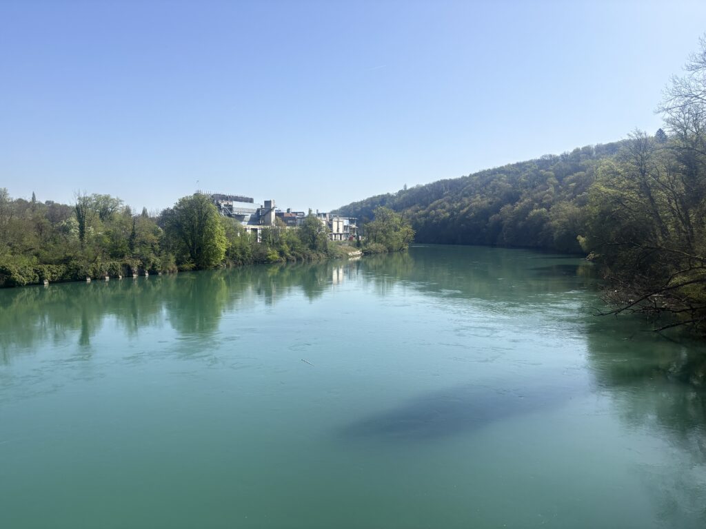
Around the height of Parc d’Evaux the hike goes back to a forest area and follows the river. One can see the city of Vernier on the other side of the river.
The hike continues following the Rhône until Aire-la-Ville, where you take a shortcut through the city. From this point onwards, the hike is much more interior than previously. The next highlight is passing by the town of Cartigny, which was all blooming, and then continue until Avully. There, I made a mistake and took a road that was not the official one, which added two extra km to what I was already doing. Not gonna lie, I wasn’t enthusiastic about it, especially since the landscape had become a bit boring by then. Fortunately, I found my way back to La Plaine and could get into the train to get back to the city.
Highlights of the hike
This hike offers some beautiful views of the Rhône. I went in April, so it was still cold, but I’m sure it has some spots where one can have a quick swim in summer.
Want more inspiration?